This feature supports both Google Maps and OpenStreetMap, providing you with flexibility and choice.
Follow the steps below to make the most out of this enhanced user experience:
- Open the Ascendix Search and navigate to the grid section where your records are displayed.
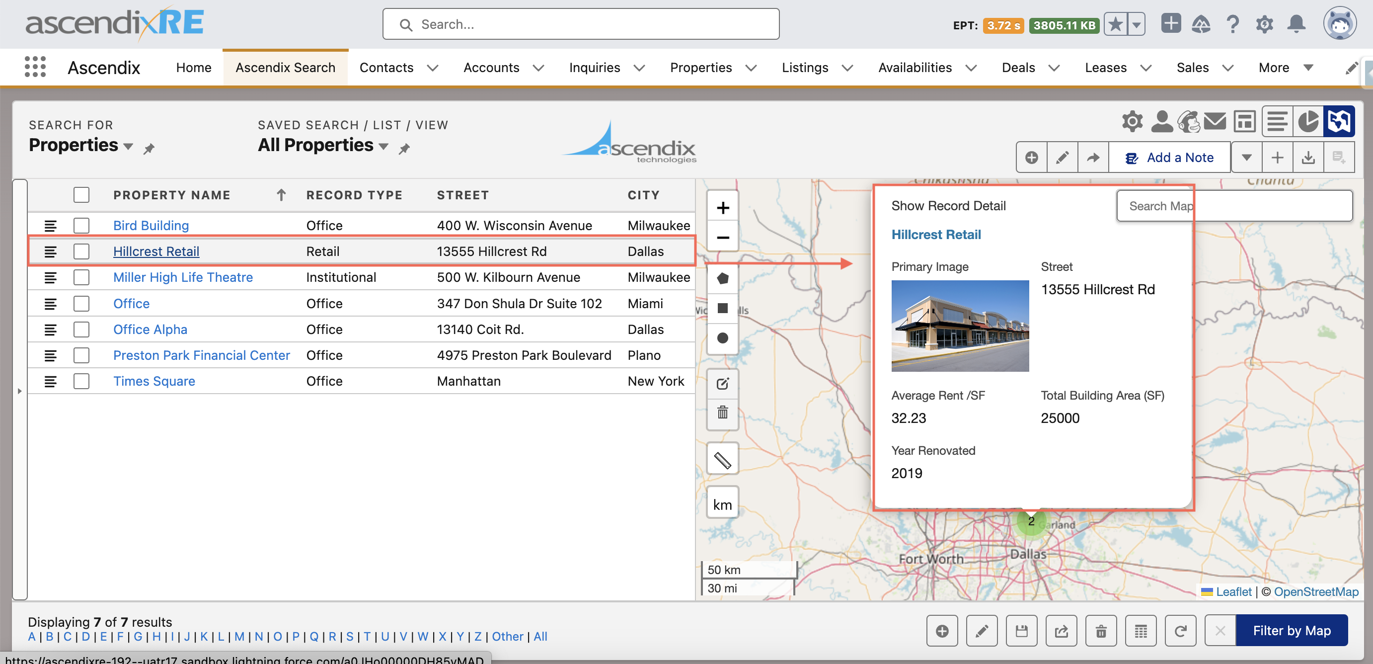
- Locate the record you're interested in, and hover over it with your mouse pointer.
- After hovering for a few seconds, the record will be automatically displayed on the map as a pin.
- The map will show the geographical location of the record, providing a visual representation.
- Also, when the pin is shown on the map, the system will display a field set containing relevant information about the record, that you can customize depending on your needs.
